In the era of DX, the role of operators is constantly evolving. While performing processes such as input, selection, checking, and correction accurately, adaptability to change is also required. Some operations may disappear, but new operations are also emerging. We support our customers' DX with flexible manual operations.
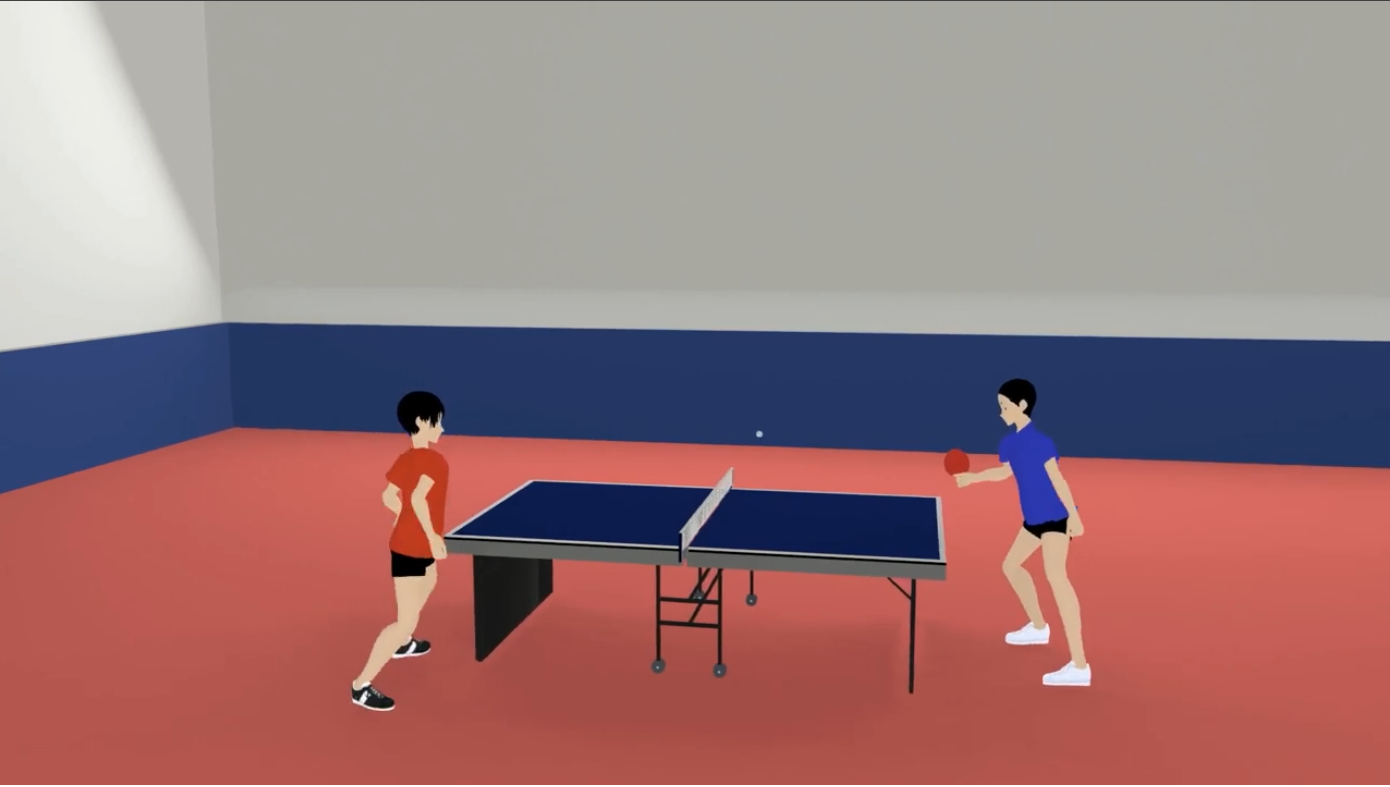
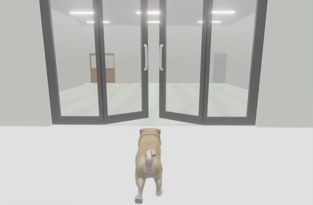
Wearing VR goggles (head-mounted display) instantly transports you to a different world, expanding the possibilities of the metaverse. At our company, we create various virtual spaces tailored to our customers' needs.
The growing e-commerce market sees an annual rise. We support operations for e-commerce site management, including image enhancement to make products more appealing and product registration.
We specialize in accurately and swiftly digitizing drawings. Converting paper-based drawings into digital format is one of our strengths.
The accuracy of machine learning depends on the quality of the training data. We specialize in creating high-quality annotated data, which typically requires a significant amount of manual effort and time, in large quantities and quickly.
GIS (Geographic Information System) refers to systems that create, store, use, manage, display, and search geographic and associated information on computers. At our company, we perform operations related to GIS such as georeferencing (geometric correction), image processing, data input, and more.
Why Choose Us
About Us
Over 300 staff members are available 24/7/365
to meet your needs.
Since our establishment in Myanmar in 2013, we have grown into the largest Japanese-owned BPO center in Myanmar, with over 300 staff members to date. We have also acquired ISO certifications for quality and information security, ensuring a reliable service for our customers.
Our Work

VR上で、よりリアルで没入感の高い観戦体験、新たなファンコミュニティの構築を


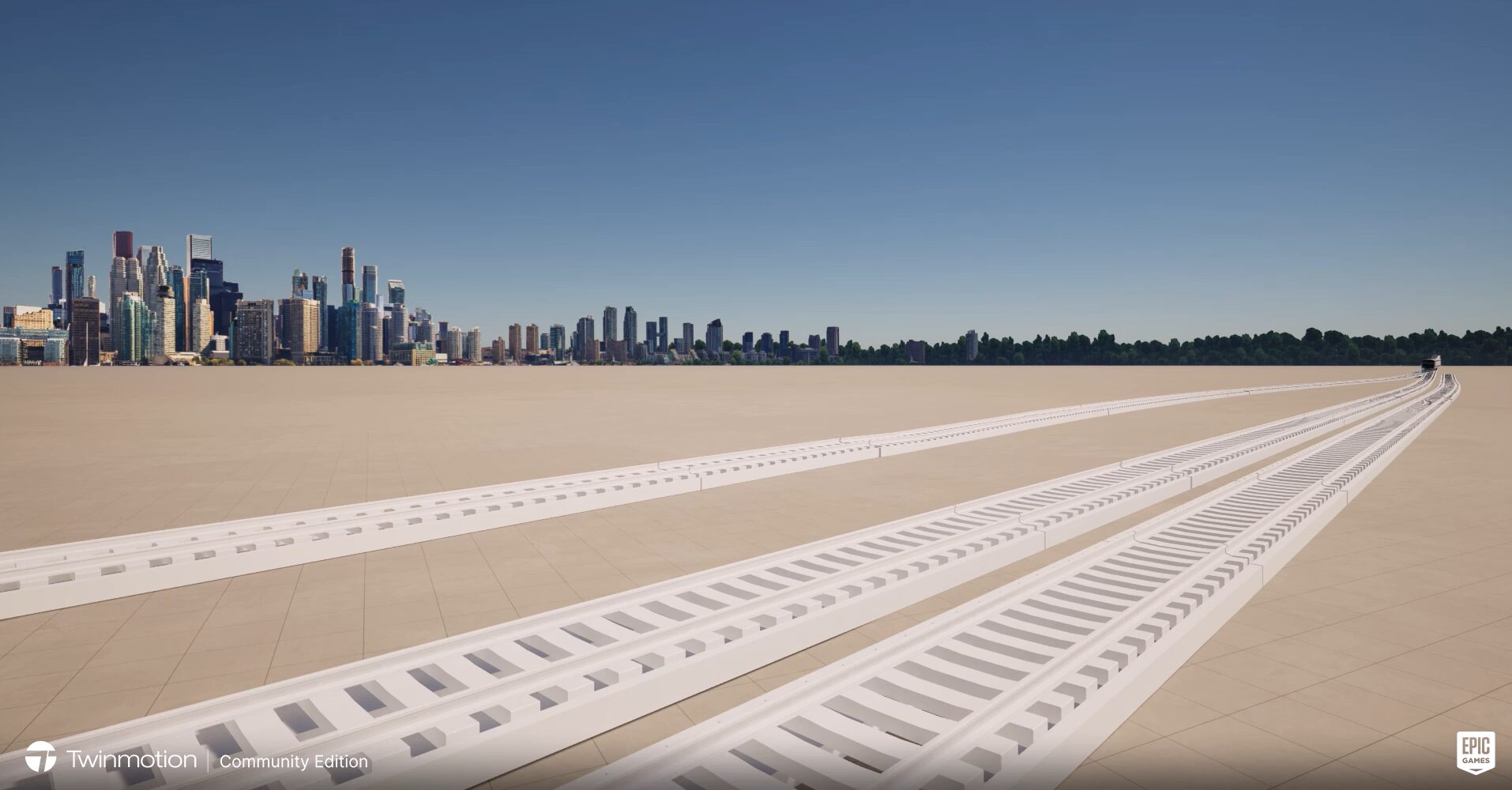
It can be used as a landscape simulation for civil engineering, architecture, and urban planning.


By visualizing 2D drawings in 3D, it can be used for maintenance purposes such as repairs and renovations.


It can be used as a model for considering scenery and sunlight during the planning stages of various construction projects.


VR上で、よりリアルで没入感の高い観戦体験、新たなファンコミュニティの構築を


It can be used as a landscape simulation for civil engineering, architecture, and urban planning.


By visualizing 2D drawings in 3D, it can be used for maintenance purposes such as repairs and renovations.


It can be used as a model for considering scenery and sunlight during the planning stages of various construction projects.

Our News


CONTACT
MAP
©︎2024 IIDA ELECTRONICS (MYANMAR).